LA MERICA


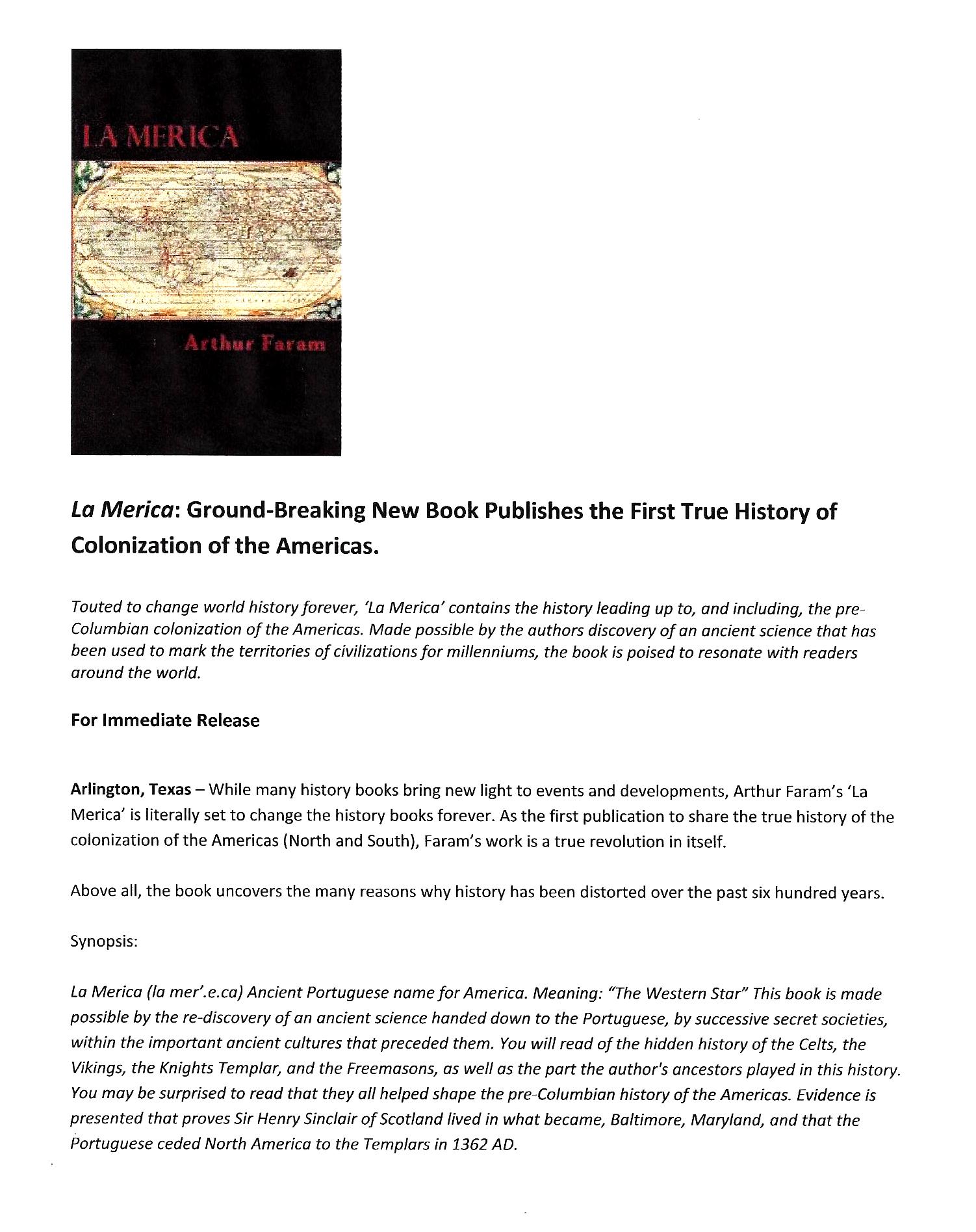
The first complete history of the Ancient European cultures that colonized the
Americas, both pre-Columbian and post-Columbian.


Excerpt from the book "La Merica"


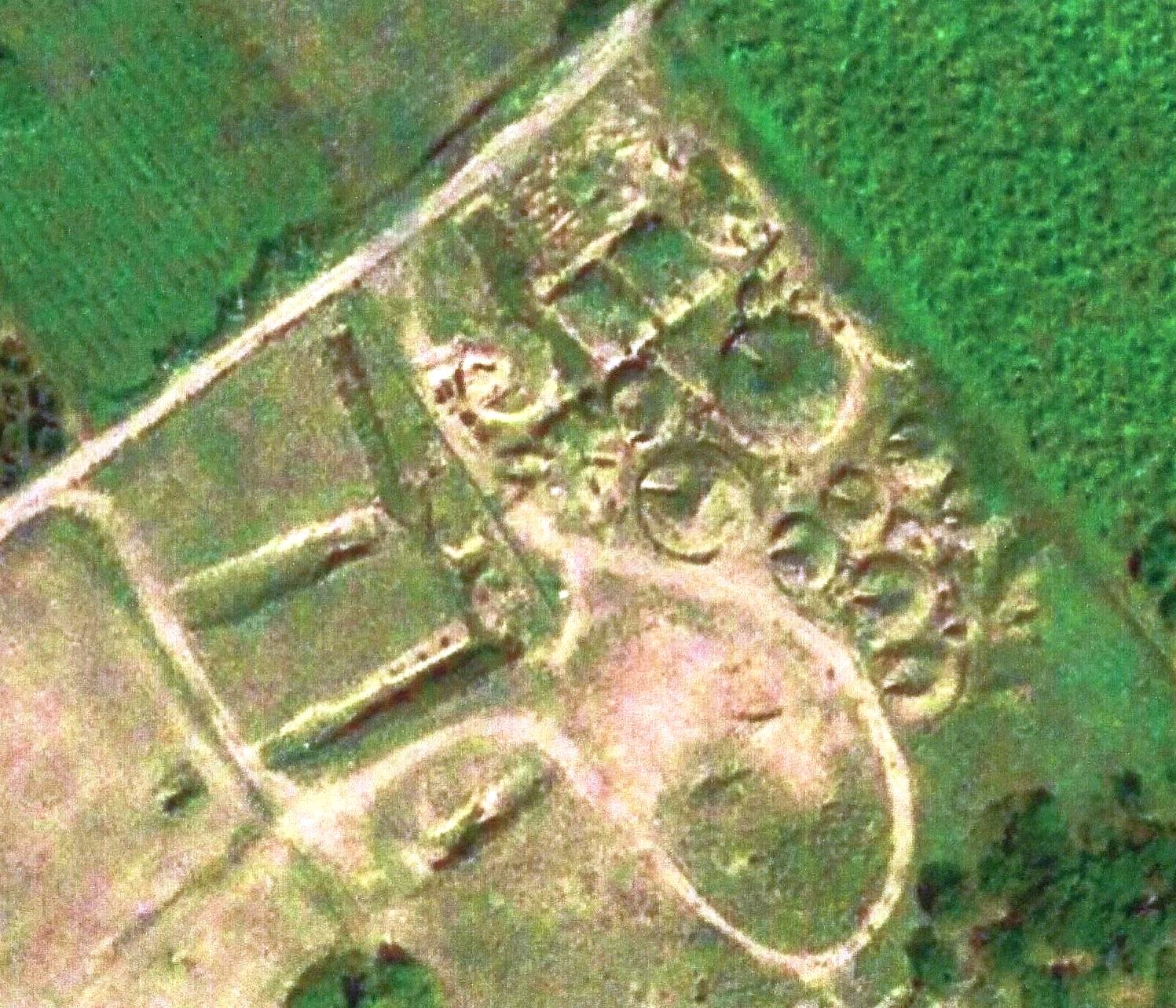
Etruscan Tombs, at Banditaccia, Italy

These tombs were constructed, c800 BC, and outline the Etruscan/Celtic Empire. The tombs were constructed so the the notched entrances of the tombs would point to a place, which had to meet certain protocols, designating the boundary of the Etruscan/Celtic Empire.


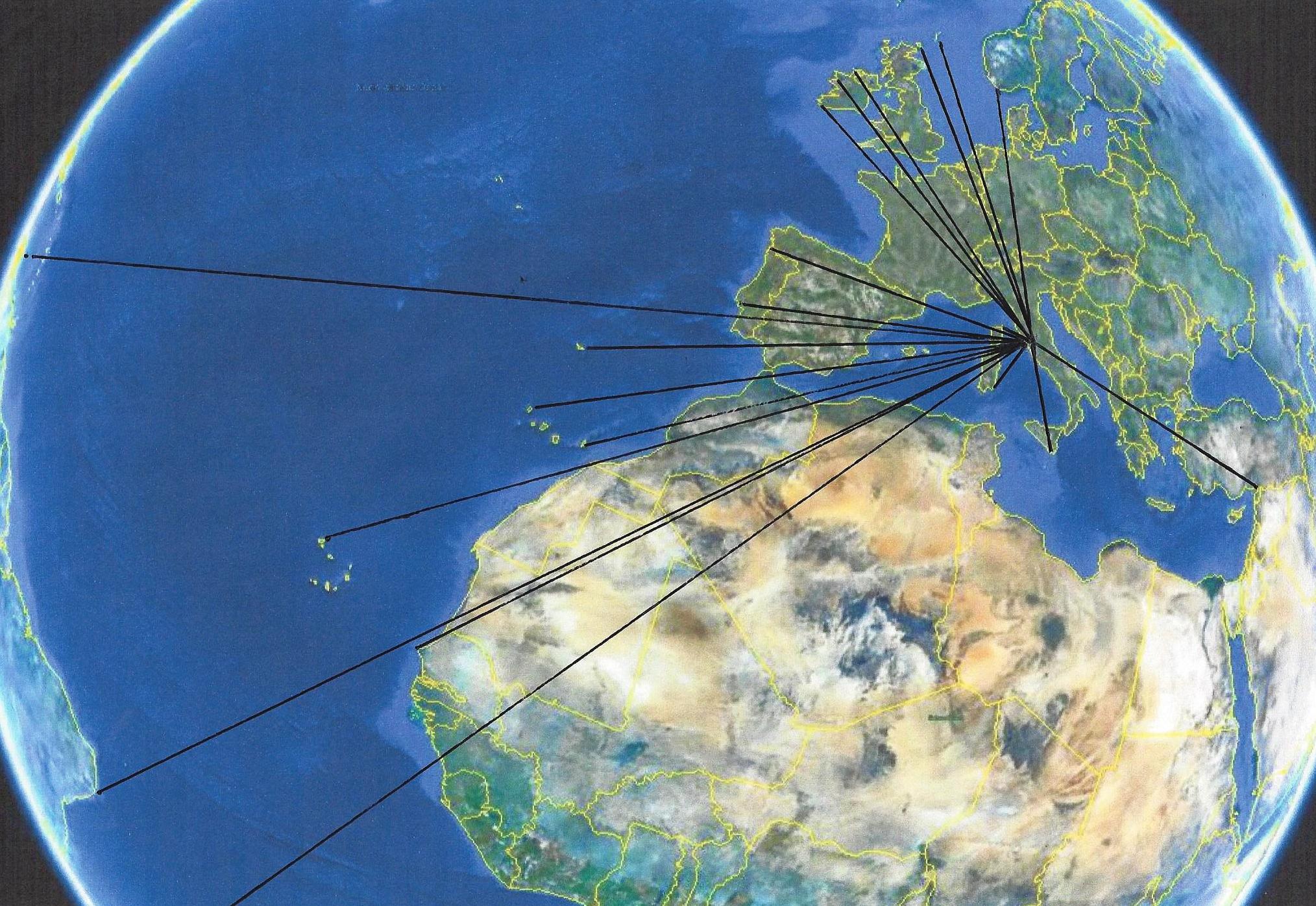
End points of the lines generated from the previous photo.

Geoglyphology

The information gathered for presentation on this website was gathered using an ancient science named Geoglyphology. (Google keyword: Geoglyphology). The calculations performed on both this website requires the use of a special software called "Google Earth". Google's software is able to calculate true spherical bearings on a curved surface and then display them correctly on a flat plane. The lines depicted in this presentation were first determined using the great circle true bearing, and then the endpoints were connected for simplicity; therefore; the proper curvature is missing. This software can be acquired, free of charge, by searching the internet using the keywords "Google Earth".

The method of determining the endpoint of these lines is derived from an ancient science, called Geoglyphology, which has been in use for over 28 Millinnia. The three that go to the Americas point to the exact tip of South America, the precise eastern point in South America, and the SE corner of territory which would later be colonized by the Celts. (Explained in the Book) This, and hundreds of other examples in the book, puts to rest the premise that international sea travel is a modern historical event.


To order click one of the links below.

Click here for Amazon.com in the US


Click here for Barnes and Noble in the US


Click here for Barnes and Noble in the UK


Click here for Amazon.com in the UK


Click Here for Amazon.com in Canada


© 2014